
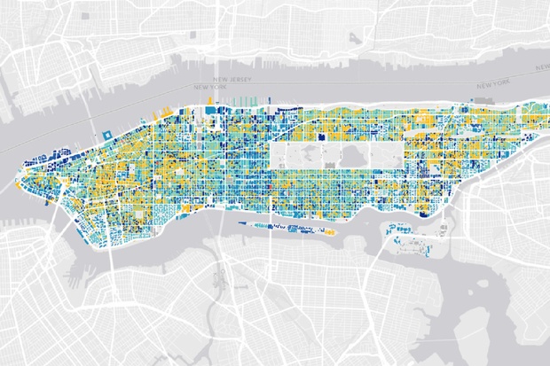
Mapping the Age of Every Building in Manhattan – Urban Layers tracks Manhattan’s rise, block by block, since 1765.
Discover more from Progressive Geographies
Subscribe to get the latest posts sent to your email.
Mapping the Age of Every Building in Manhattan – Urban Layers tracks Manhattan’s rise, block by block, since 1765.
Subscribe to get the latest posts sent to your email.


Pingback: Top posts this week on Progressive Geographies | Progressive Geographies